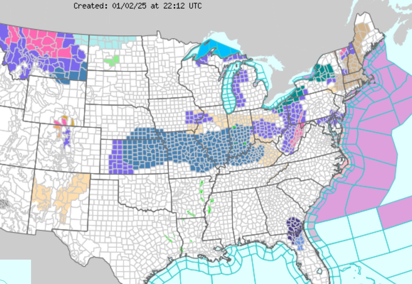
ATLANTA, GA – A potent weather system is on the horizon for the middle of the United States, promising a mix of severe weather conditions that could disrupt daily life across several states. From the Gulf Coast to the Carolinas, residents are bracing for what could be a disruptive start to the new year, with forecasts indicating a complex storm system capable of producing heavy rain, damaging winds, and isolated tornadoes.
The Storm’s Path
According to the National Weather Service (NWS), the storm is expected to make its presence felt starting late Thursday into Friday, affecting areas from eastern Texas through Louisiana, Mississippi, Alabama, Georgia, and into parts of South Carolina and North Carolina. The system, fueled by a cold front clashing with warm, moist air from the Gulf of Mexico, has the potential for significant meteorological impacts.
-
Heavy Rainfall: Forecasters warn of widespread rainfall, with some areas potentially seeing between 3 to 6 inches, leading to flash flooding concerns, especially in urban centers and low-lying regions.
-
Wind Threats: With the storm’s dynamics, wind gusts could exceed 60 mph in some locations, posing risks to trees, power lines, and structures.
-
Tornado Risk: The combination of wind shear and atmospheric instability could spawn isolated tornadoes, with the NWS highlighting a particular risk for central and southern Alabama into Georgia.
Click here to sign up to Dave Bondy’s free newsletter to get breaking news updates.
Preparation and Response
State and local authorities have been proactive in their response:
-
Emergency Services: Emergency management teams are on high alert, with flood barriers being placed in flood-prone areas, and emergency shelters opening where necessary.
-
Public Safety Announcements: Officials are urging residents to secure outdoor items, prepare emergency kits, and stay informed through local news broadcasts and weather alerts.
-
Travel Advisories: With the threat of road closures due to flooding or debris, transportation departments are advising against non-essential travel during the peak of the storm.
Community Impact
The storm’s timing, just days into the new year, could disrupt post-holiday recovery and affect businesses still navigating through the economic aftermath of the festive season. Schools and public institutions are making contingency plans for closures or shifts to online operations if necessary.
-
Power Outages: Utility companies are preparing for potential outages, with crews on standby to respond to power disruptions.
-
Agriculture: Farmers in the Southeast are also concerned, as heavy rains could lead to crop damage or delay planting schedules for those in the early stages of the new agricultural year.
Looking Ahead
As the storm system evolves, the exact path and intensity could still shift. Residents are encouraged to monitor weather updates closely. The Storm Prediction Center has issued a Level 3 out of 5 risk for severe weather, underscoring the potential for significant impacts.
In conclusion, while the Southeast has seen its share of severe weather, this event’s broad scope and potential for multiple hazards remind us of nature’s unpredictability. Communities are coming together, heeding the call for preparedness, hoping to mitigate the storm’s impact on life and property.
For ongoing updates, residents should stay tuned to local news channels, weather apps, and official government communications.


